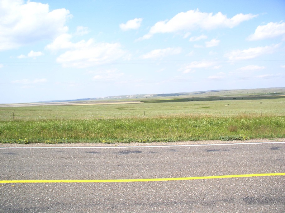
This is a shot facing north that was taken 40 miles East of my farm. It shows the valley formed by the Big Muddy River. 10,000 years ago, before the last glacier pushed down from Canada, this area was drained through this valley and into the Hudson Bay. The glacier pushed an earthen bench that plugged the drainage and formed a large lake upstream.
This shot was taken facing east about 3 miles east of the Big Muddy Valley. The red marks indicate the north and south points where a range of hills were breached and allowed the lake formed by the blockage of the Big Muddy to drain via what was to become the Missouri River, into the Gulf of Mexico. The red marks are about 6 miles east of the old Big Muddy River.
Facing southeast and looking downstream of the Missouri River. The north point of what was the natural dam.
Picture taken 2 miles south of Culbertson, MT.
Gumbo hills that used to dam the Missouri River south of Culbertson, MT
This pic was taken where the river leaves my farm at it's southeast corner.
Facing east and looking downstream.
Standing on the most southeasterly corner of my farm and looking downstream.
Looking south across the river
Standing on an old irrigation ditch looking upstream (west)
Standing at the southeast corner of our farm and looking upstream.
Standing on an old irrigation ditch on the southeast corner of our farm and looking northwest. Our farmstead is barely visible at the center of the picture, just to the left of the grove of trees in the distance. The buildings in amongst the trees are Dad's old farmstead.
About 3.5 miles to our farmstead and 2.5 miles to Dad's old farmstead from this point.


